Okehampton Station in old maps
Reproduced with the permission of the National Library of Scotland, below are extracts from 5 maps showing the development of the Okehampton station site. The first 3 are from the Ordnance Survey 'County Series', which began in the 19th century. The last 2 are post WW2 National Grid maps.
All were originally at 1:2500 scale, or just over 25 inches to the mile. It's tricky taking sections from 5 different maps and ensuring they are the same size and zoom - I haven't quite achieved it but they're close.
These copies are just intended to be tasters. Anyone wishing to explore in more depth is advised to look at the maps directly on the brilliant National Library of Scotland website, where you can see the entire map and pan, zoom, measure etc. For this reason I have included a link for each map.
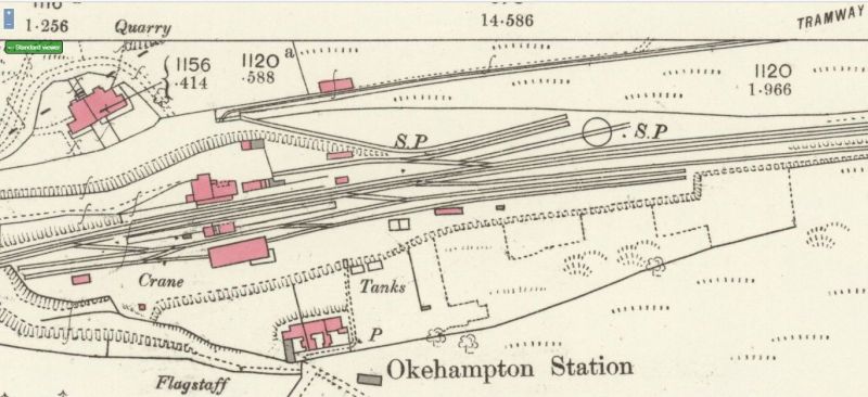
1883
Map details: Devon LXXVI.8 Surveyed 1883, Published 1885 https://maps.nls.uk/view/106003115
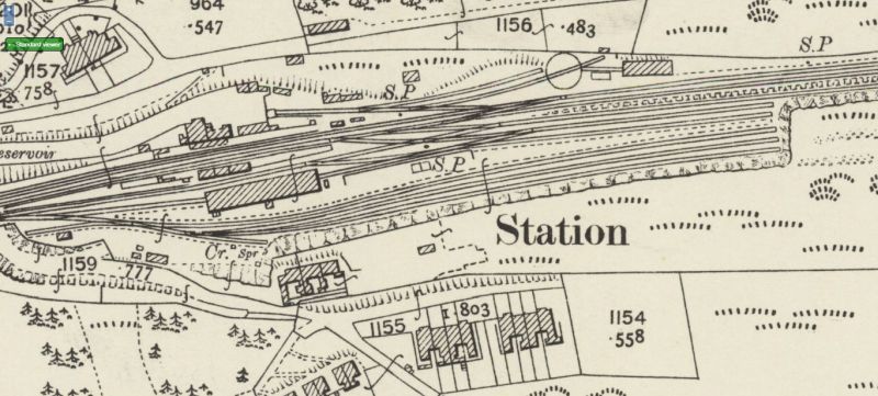
1904
Map details: Devon LXXVI.8 Revised 1904, Published 1905 https://maps.nls.uk/view/106003118
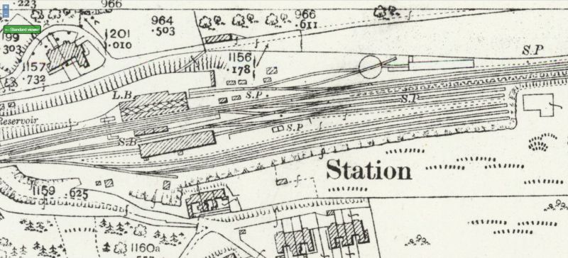
1932
Map details: Devon LXXVI.8 Revised 1932, Published 1933 https://maps.nls.uk/view/106003121
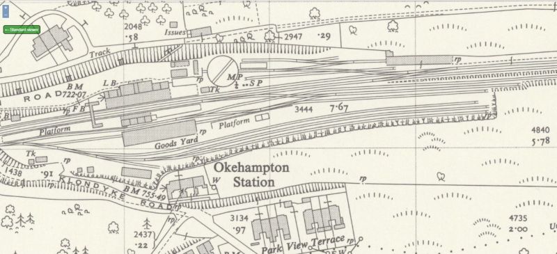
1953
Map details: SX5994 - A Revised 1953, Published 1955
https://maps.nls.uk/view/188623447
1970
Map details: SX5894-SX5994 BB Revised 1970, Published 1971 https://maps.nls.uk/view/188733024
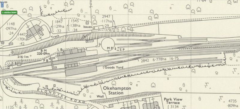
Some observations
Everyone will get something different from studying these. Here are a few observations of mine:
- Only the 1883 map shows the poorly documented tramway to Fatherford. The later maps just show dotted lines along the route, suggesting only a track or footpath, as is the case today. Yet other sources say that the tramway was operational until 1930.
- On the 1883 map, a railway line is shown between the western end of the tramway and the engine shed area. It's drawn at the same gauge as the other standard gauge track, whilst the tramway itself is visibly narrower. It must have been a steep incline. Was it used to get stone to the goods yard, for despatch elsewhere? It's not shown on the later maps.
- The engine shed didn't exist in 1883. It appears on the 1904 map, and had doubled in length by 1932.
- You can see that the original 50 foot turntable was a tight fit in the available land. The later 70 foot table had to be built further west where there was more space in the loco shed site which tapers eastwards.
JK

 Home
Home